[Go back] | Publications Center | DOGAMI Home
Special Paper 42, Protocol for Inventory Mapping of Landslide Deposits from Light Detection and Ranging (Lidar) Imagery, 2009, by William J. Burns and Ian P. Madin.
Download publication (40 MB .zip file)
The SP-42 file set consists of:
a. Text report (print and onscreen versions), 30 p.
b. "geodatabase_template" folder:
- Landslide_Inventory_Template-ArcInfo.gdb - includes relationship classes between the feature classes
- Landslide_Inventory_Template-ArcView.gdb
- sr_Toolbox.tbx - additional tools: Find Unmatched Features and Unjoin Layers
c. Readme.txt file
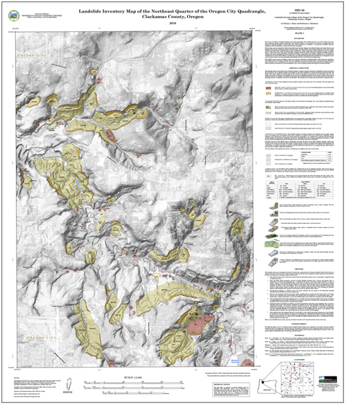
Example of a landslide inventory map based on SP-42 protocol (Plate 1 from Interpretive Map 30):